Geo Data Coordinates
Advertisement

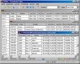
GeoSetter v.3.4.22.2128
GeoSetter is a freeware tool for Windows (XP or higher) for showing and changing geo data and other metadata (IPTC/XMP/Exif) of image files (e.g. images taken by digital cameras).
Advertisement
CONVERT (Deutsch) v.1 3
The freeware program CONVERT converts any dBase formatted data base tables and special the Geo Data supplied by KilletSoft GbR as dBase tables into different data formats.

CONVERT (English) v.1 3
The freeware program CONVERT converts any dBase formatted data base tables and special the Geo Data supplied by KilletSoft GbR as dBase tables into different data formats.
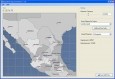
AnyChart Flash Map Converter v.1.0.4
Convert ESRI ShapeFiles (.SHP) geolocation data into AnyMap format to be used with AnyChart. AnyChart Flash Map Converter allows making use of a wide choice of maps with AnyChart, a GIS system that recognizes map data in AnyMap format only.
ASF SAR Training Processor v.1. 1. 2010
The SAR Training Processor (STP) is a graphical tool written to assist in learning and teaching the flow of SAR processing. After installation, you will have a start-menu shortcut that you can use to run the SAR Training Processor.
QPlot v.1.2.4286.0
QPlot: Allow you view or digitize scatter data. Visualize scatter data starting from your NotePad; Support line point series and tabular column field data (read more for supported data format); Import export data through copy and paste; Online data
Extrema v.4.4.5
Visualize and analyze data with this tool. EXTREMA is an interactive software with publication quality graphics and mathematical analysis abilities. EXTREMA can be GUI and/or command driven. The command language includes conditional branching,
TransDEM Trainz Edition v.2 1
TransDEM Trainz Edition is a dedicated version of TransDEM, enhanced with specific export functionality for Auran/N3V Trainz Simulator 2010, Trainz Simulator 2009, Trainz Railroad Simulator 2006 and 2004.
ASF Convert To Vector v.2 2
ASF Convert To Vector is a freeware software by Alaska Satellite Facility Convert to Vector is a small program made to transform point or scene information to various other formats that are compatible with external applications such as Google Eart
GE-Graph v.2.2.21
GE-Graph (GE-Graph: Graph for GoogleEarth) helps you to make graph into Google Earth to illustrate your presentations, and papers. GE-Graph was developed to generate graphs from kml files saved by GE.
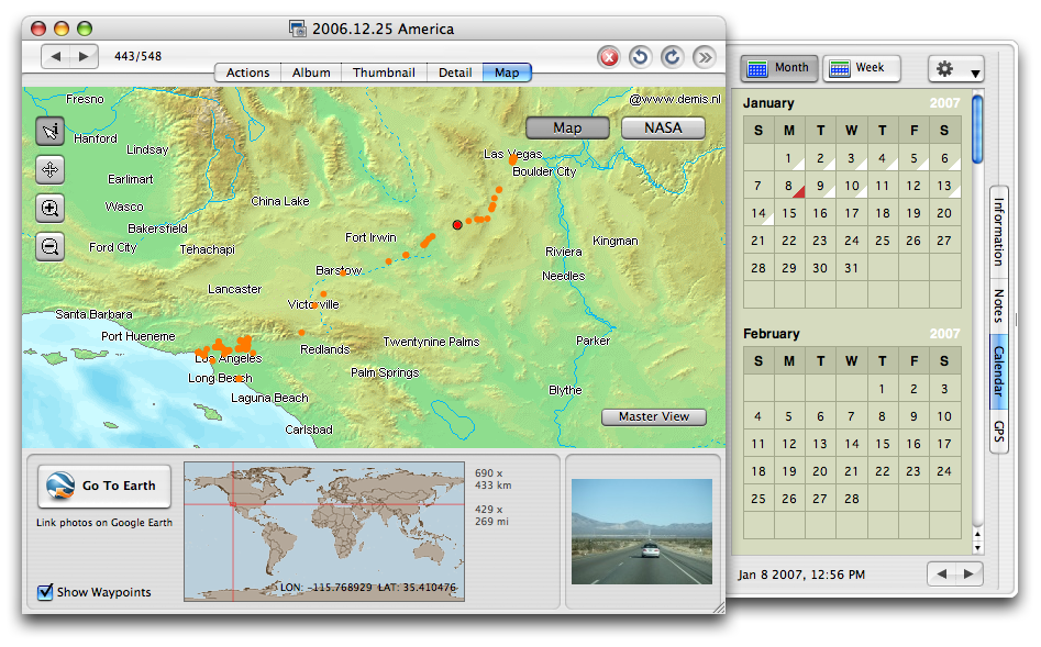
JetPhoto Studio for Mac v.5.3
JetPhoto Studio is a feature-rich and easy-to-use digital photo software JetPhoto Studio is also an efficient desktop photo organizer for flickr users.